 Arabella of Mars, David D. Levine
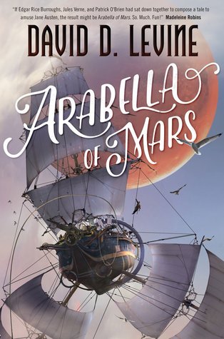
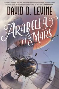
Arabella of Mars has that classic adventure romp feel — something a little bit Jules Verne-y, I guess, though what I thought of was Martha Wells’ Emilie & The Hollow World. I was told it’d be a fun read, and it didn’t disappoint: I finished it in one hour and forty minutes, when I should’ve been sleeping. The action ticks along at speed; Arabella is a fun character, if not perhaps unique in as a character in her unique independence for her world, and I especially appreciated the fact that although she’s a female character who dresses up as a guy and then found out, she isn’t sexually assaulted at any point. It’s such a staple of the genre, I was half-expecting it to ruin my fun any minute.
Instead, Levine goes a less easy route where the crew don’t really accept Arabella, by and large, after she’s discovered — but nobody tries to assault her either. It feels a little unsatisfying, because heck, you know she’s proved herself… but it also feels more real, and gives us that tiny bit of bitterness to help the sweet wish fulfilment go down. (And it is sweet wish fulfilment — Victorianesque society, girl becomes the hero and travels by airship to Mars, finds love along the way.)
It was very much a fun and light read, and I appreciate it a lot for that. If you’re looking for the utterly grim, relentless grind of a fantasy/sci-fi world where everything goes wrong at every turn, this isn’t it — and if that’s all that feels real to you, you might find this unsatisfying.
Me? Well, it felt more like a snack than a full meal, but a little bit of choux pastry makes a nice change.
Rating: 4/5
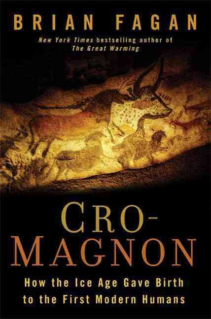
 Cro-Magnon, Brian Fagan